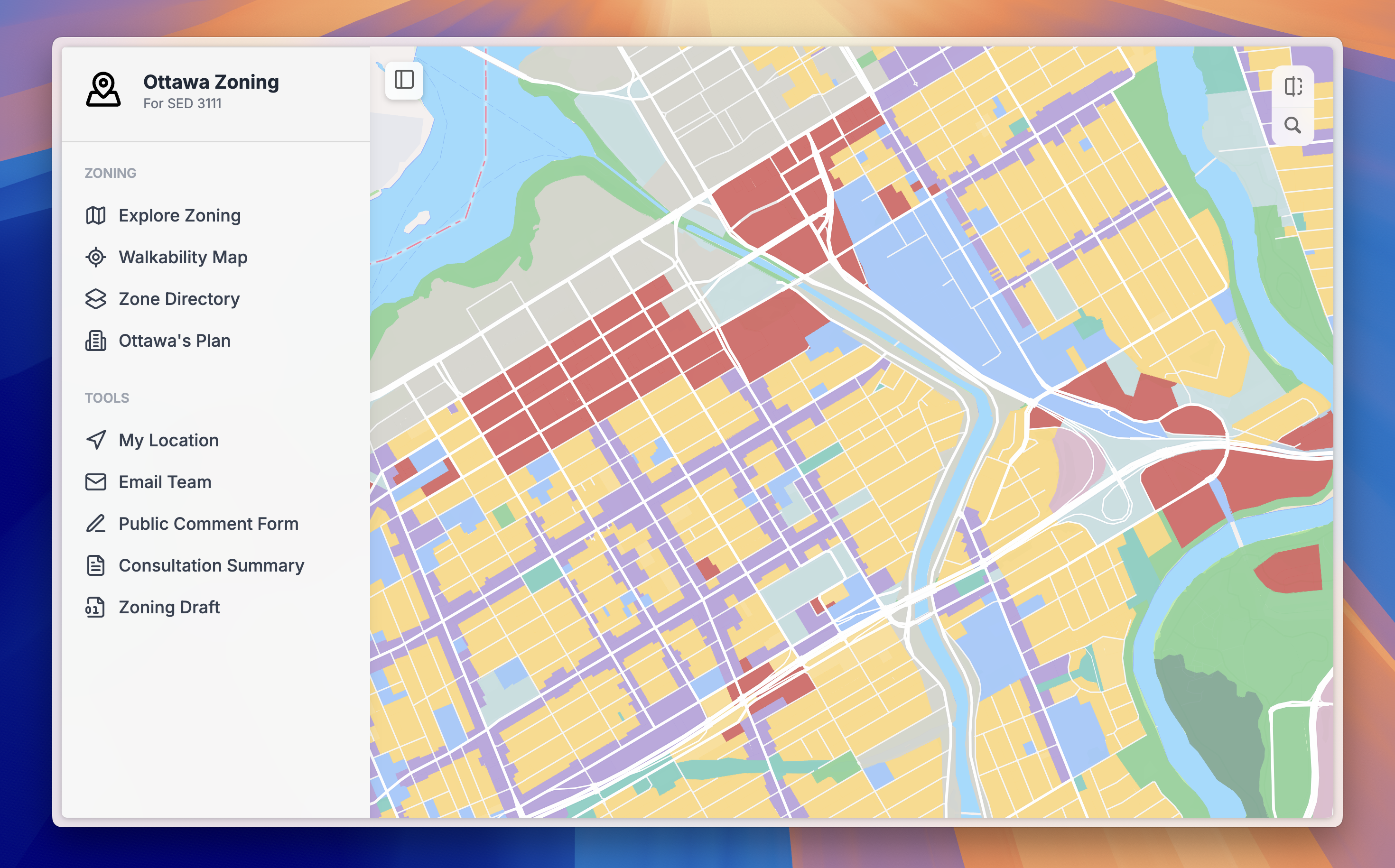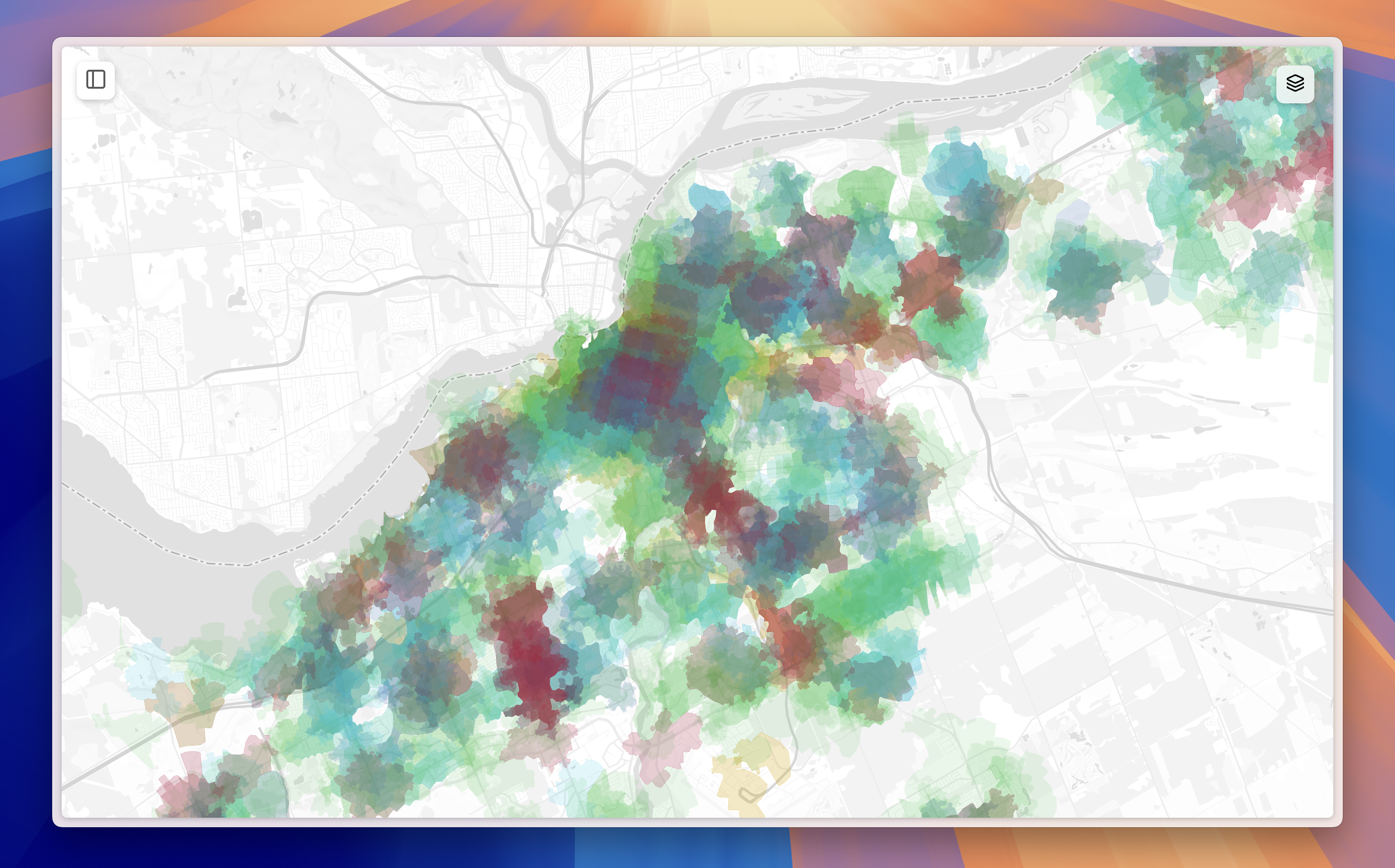
Explore the impact of Ottawa’s evolving zoning laws through interactive 3D maps and data-driven visualizations. This project models zoning changes before and after proposed bylaw updates, highlighting their potential effects on communities, land use, and urban growth. Dynamic spatial tools let you visualize neighborhood transformations, compare historical and future zoning scenarios, and understand how policy shifts shape the city’s fabric in real time. Presented to the City of Ottawa at the annual HUBBUB conference in 2022, winning Top and People's Choice awards.
Explore online